Climate Change Observatory Sites
ABOUT
The Climate Change Observatory Network (CCON) is a photo monitoring program designed to work with environmental organizations and communities to assist with the observation, measurement and documentation of long-term climate change trends and adaptation projects. Using participatory tools and collaborative partnerships, the program brings people with various perspectives and knowledge together to co-learn about climate change and adaptation. The CCON encourages participation in climate change study, develops an interest and community ownership in climate action, and inspires collaboration amongst community stakeholders to develop adaptation strategies and solutions.
The Southern Maine Conservation Collaborative CCON program partners with environmental organizations and communities to build out Climate Change Observatory (CCO) project sites. Each CCO project site is unique to the local context, geography, and the changes being experienced in that area. Projects are varied and can range from monitoring and documenting sea level rise, flooding, beach erosion and accretion, storm surge and the effects of the ocean on the wetland complex, king tides, marsh migration, algal bloom, water levels, vegetation changes, invasive species, rewilding, changes in land use over time, living shorelines (impacts and survivability), river restoration, and other climate adaptation projects.
HOW IT WORKS
Community members, volunteers, land stewards and people just like you, help monitor and document environmental changes over time.
WHAT IS A CLIMATE CHANGE OBSERVATORY SITE?
A Climate Change Observatory (CCO) site crowdsources photos to create a time lapse video that helps monitor and document environmental changes that occur over time at a specific location. People are invited to participate by locating a CCO site, placing their mobile device on the photo bracket, taking a photo and uploading it to Chronolog via email (NO App download or account set up is required). Simple 1-2-3 directions are posted on the instructional sign at each CCO site. When the participant uploads a photo, the Chronolog platform adds the photo to the CCO project’s time lapse video, and emails the participant the time lapse video they just contributed to, along with information about the CCO project site. They can then learn more about the CCO project site and the organization that stewards the land/water that the CCO site is located at, as well as share the link and encourage others to participate.
The crowdsourced observation data collected and processed into a time lapse video improves our collective understanding of environmental changes occurring in our communities, and develops an interest and community ownership in climate action. The CCON encourages input and collaboration amongst multiple community stakeholders to help develop adaptation strategies and solutions that can build more climate resilient communities for the benefit of all.
FIND A CLIMATE CHANGE OBSERVATORY SITE
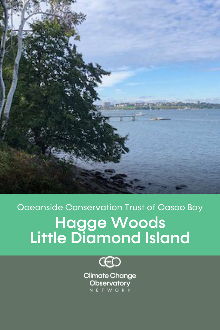
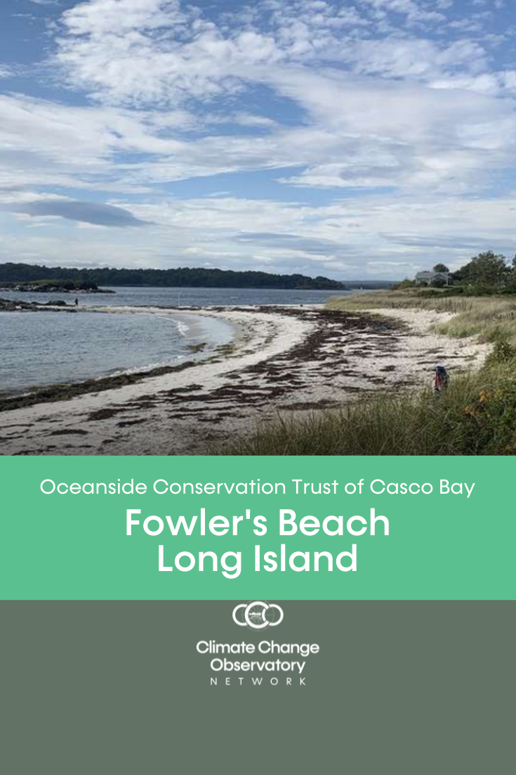
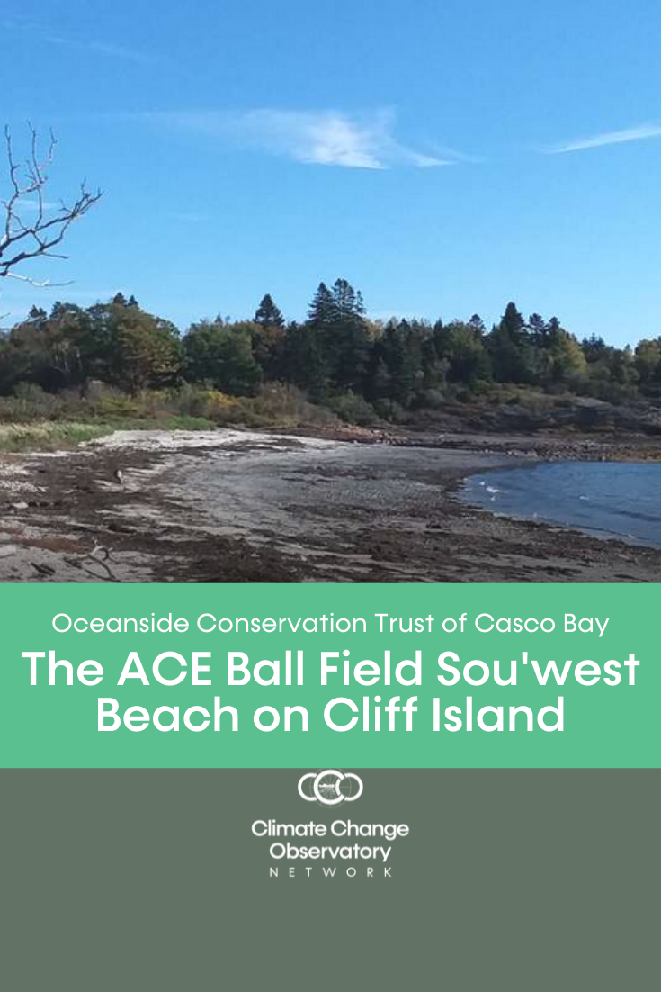
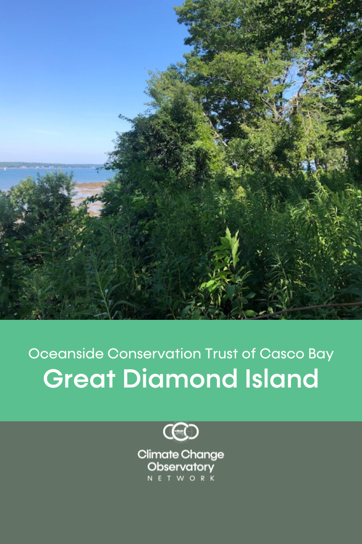
Head out to OCT's Climate Change Observatory sites and help document environmental changes occurring over time.
Click on a link below to learn more about the CCO site and view the time lapse video.
ADDITIONAL RESOURCES:
- The Community Intertidal Data Portal (CIDP) is a resource that was created to make intertidal data and information more accessible, foster connections between communities with an interest in the intertidal, and promote a more nuanced understanding of issues within the nearshore environment of Casco Bay. View OCT's Climate Change Observatory Sites on the CIDP Data Product - Sea Level Rise & the Nearshore Environment.
- Use the Maine Climate Council’s interactive online dashboard to explore historical observations and future climate scenarios.
- Explore how sea level rise will affect different parts of Maine’s coast in the Maine Geological Survey’s Sea Level Rise/Storm Surge Viewer.
- Dive into Maine’s sea level rise trends and variability in the Maine Geological Survey’s Sea Level Rise Dashboard. Learn about how Maine’s infrastructure, including roads, culverts, and more, are affected by climate change with the MaineDOT Climate Initiative.
- Visualize how sea level rise would look at landmarks down the coast with the National Oceanic and Atmospheric Administration’s Sea Level Rise Viewer.
- Read the Maine Climate Council’s Scientific Assessment of Climate Change and Its Effects in Maine Sea Level Rise chapter.
[Source: Maine Climate Science Dashboard]


